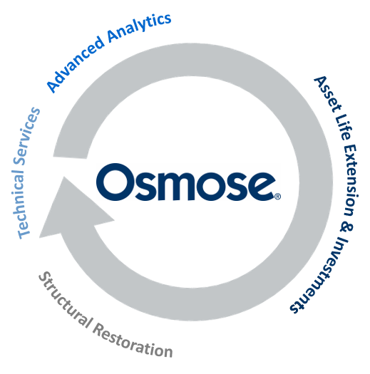
Distribution Resiliency Solutions
Osmose life extension programs preserve strength that is initially built into wood utility poles. Pole evaluation and application of remedial treatment saves money by adding many additional years of durable service life. Osmose pole restoration systems are designed to restore strength to poles that do not meet structural requirements due to decay or damage at a fraction of a new pole replacement cost.
Osmose structural Resiliency as a Service® solutions strengthen and harden wood poles before nature’s fury strikes. Using predictive analytics, innovative data collection, our pole loading expertise and software, and family of trussing systems, our innovative and targeted resiliency program is five times faster and often times 70% less than a replacement-only program.
.png?width=243&name=Osmose-logo-(white).png)


